During my undergraduate studies I was introduced to geographic information systems (GIS) and since then I have been interested in bringing technology into my historical research and intstruction. Although I was introduced to the digital humanities through GIS, I have expanded to learn and utilize front-end and back-end coding as well as digital visualization tools.
front-end web development
I created this website using HTML, CSS, and Javascript. Although still a work in-progress, check out the code on github.
During my undergraduate studies I was introduced to geographic information systems (GIS) and since then I have been interested in bringing technology into my historical research and instruction. Although I was introduced to the digital humanities through GIS, I have expanded to learn and utilize front-end and back-end coding as well as digital visualization tools.
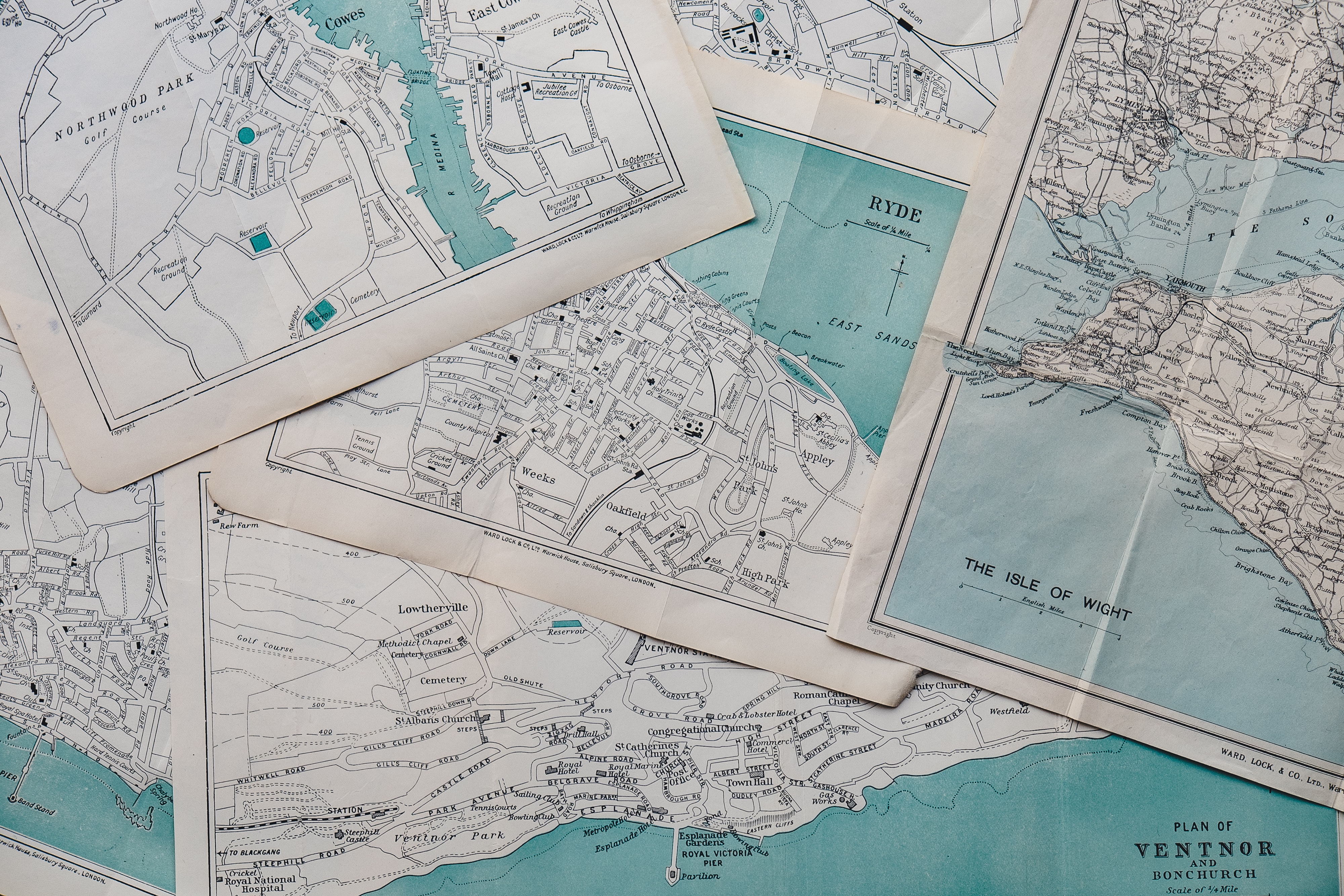
historical gis
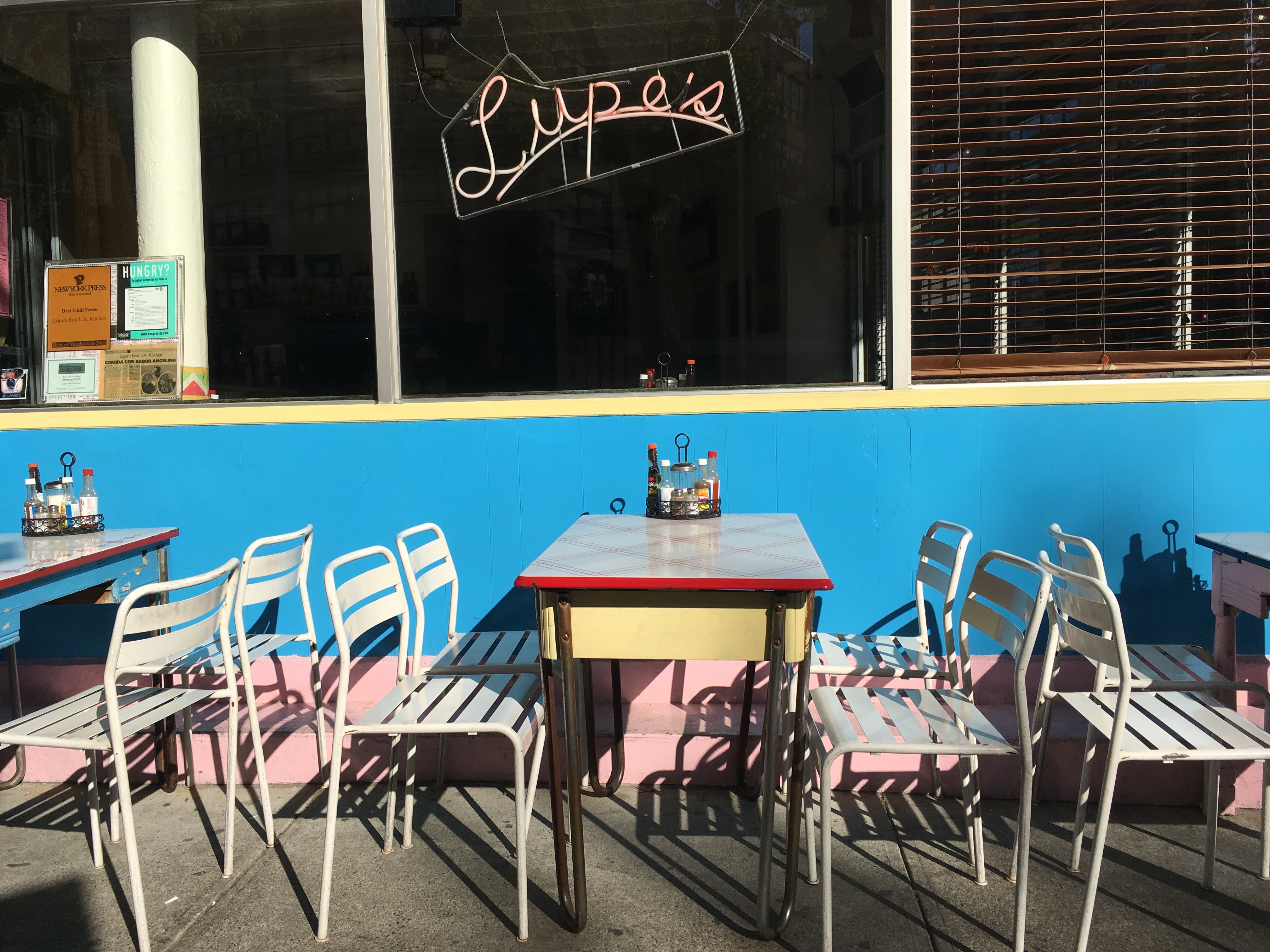
Check out the GIS support I provided for Dr. Lori Flores' Mexican Restaurants of New York City StoryMap.
article
Read about how and why History departments should include GIS in their curricula.
research
Explore the geospatial analysis of hacienda distribution in colonial Mexico.
gis assistant
Wilson, Kathleen. Players of Empire: Theater and Performances of Power in the British Imperial Provinces, 1656–1833. Cambridge; New York, NY: Cambridge University Press, 2023.
gis project
Sources
Minian, Ana Raquel. “De Terruño a Terruño: Reimagining Belonging through the Creation of Hometown Associations.” Journal of American History 104, no. 1 (June 2017): 120–42. https://doi.org/10.1093/jahist/jax007.
Instituto de Mexicanos En El Exterior "Directorio de Asosaciones y Clubes de Oriundos,” 2023.
gis project
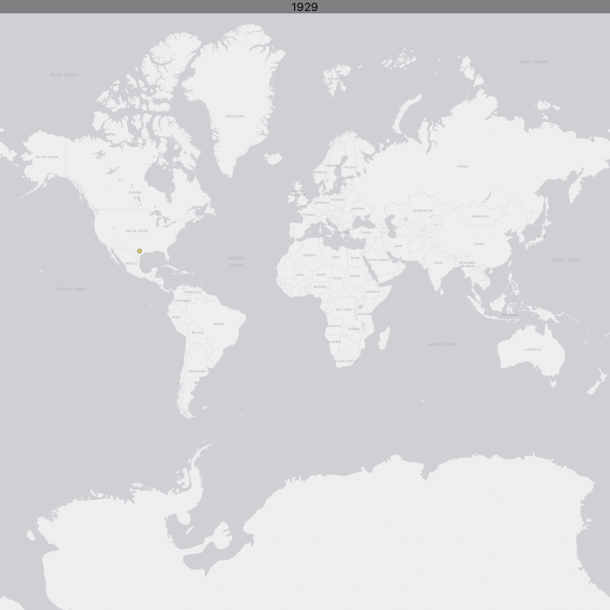
Explore my professional GIS journey with this Leaflet map I created. This is based off of cartographer Brendan Cullen's own catrographic resume.

Take a look at my projects